Aral Sea field deployment, 2009

A single-day LIF lidar deployment on the remnant Aral Sea in August 2009, extending the field record to a shallow hypersaline basin

Published figures

Interpolated campaign fields, reproduced in their original published form.

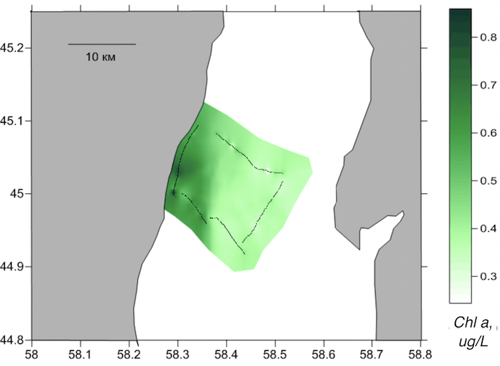
Interpolated chlorophyll a field mapped along the lidar track, Aral Sea, Aral Sea, 2009
Fig. 1Chlorophyll a
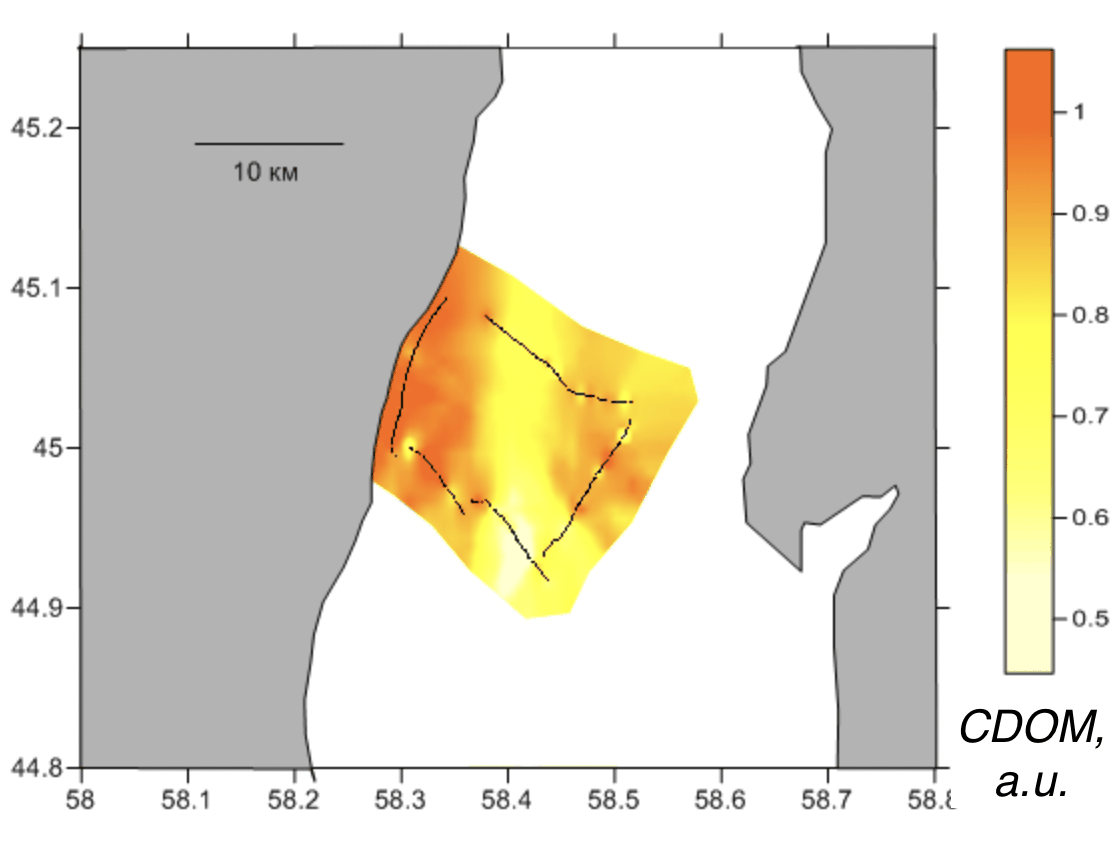
Interpolated CDOM field mapped along the lidar track, Aral Sea, Aral Sea, 2009
Fig. 2CDOM
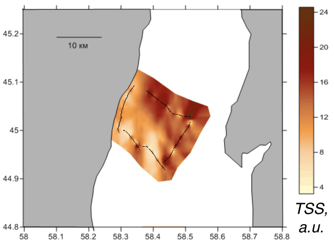
Interpolated total suspended matter field mapped along the lidar track, Aral Sea, Aral Sea, 2009
Fig. 3TSM

On 8 August 2009, a LIF lidar completed a single-day track on the remnant Aral Sea. At that time, the basin had already contracted substantially and presented shallow, hypersaline, sediment-rich conditions.

The deployment is included as part of the method’s operating record across contrasting water types. The associated route and date document the presence of the instrument on a basin several times more saline than the open ocean.