
Environmental surveys and satellite cal/val
Environmental monitoring addresses defined water-quality questions, while satellite cal/val pairs in-situ measurements with an overpass and its retrieval products
Scope
A measured campaign with a defined record
Each engagement defines the instrument, platform, survey plan, reference sampling, and reporting method before work begins. The same team then operates the instruments and prepares the measurement record.
Services
Two areas of field practice
Both services are adapted to the water body, the reporting requirement, and the available platform
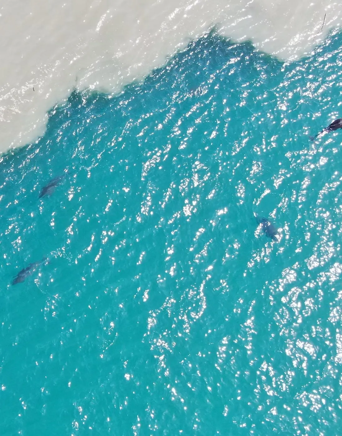
Environmental Monitoring
Field surveys for water-quality assessment and contamination response
- Chl-a 0.01 – 1000 mg·m⁻³
- Hydrocarbons ppb sensitivity
- Suspended sediment 0.1 – 1000 g·m⁻³
- Along-track resolution < 1 m
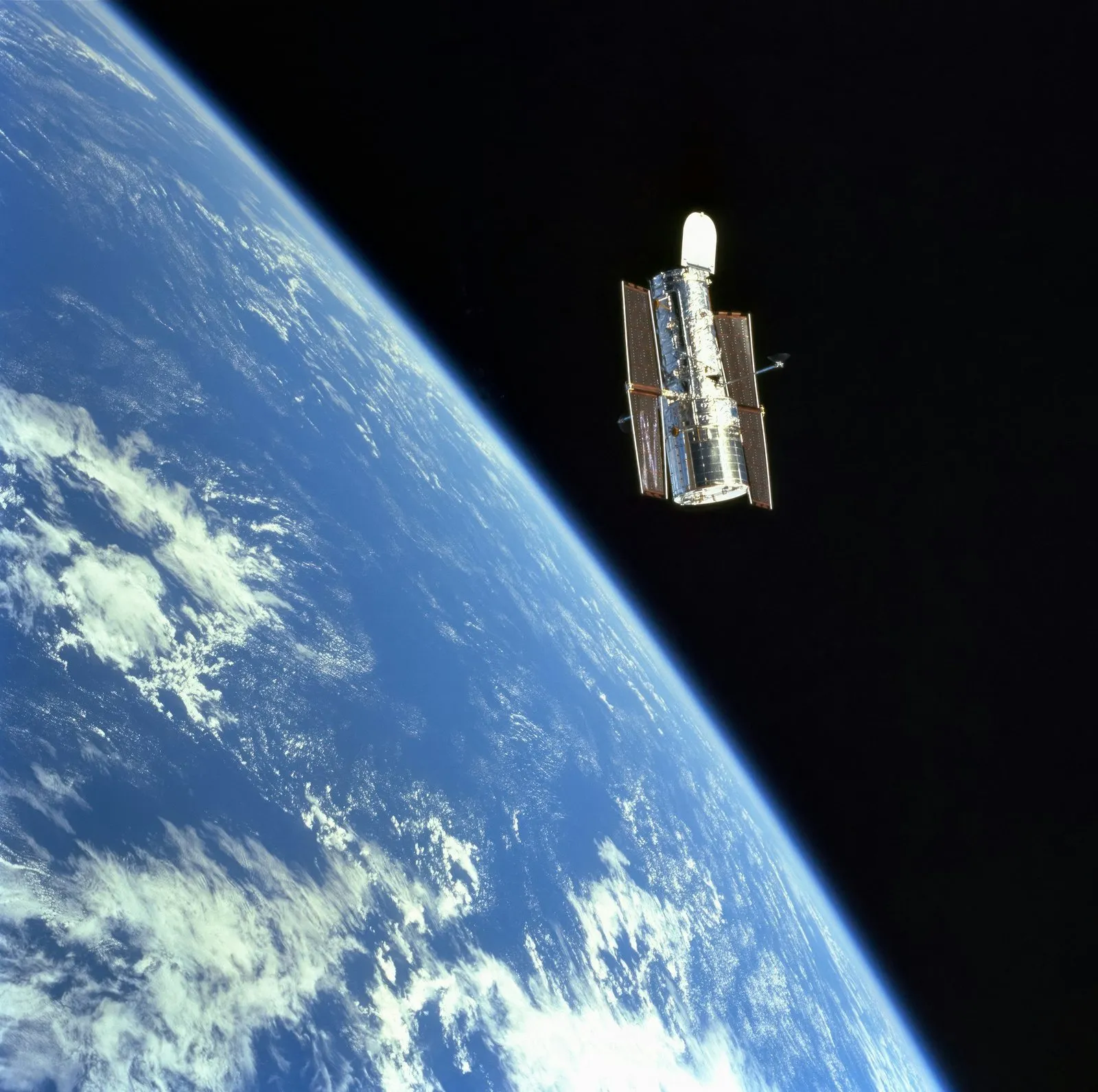
Satellite Cal/Val
Synchronous in-situ measurements for ocean-colour calibration and validation
- Per S-2 pixel ~20 points at 10 kn
- Sentinel-3 OLCI
- PACE OCI, MODIS, VIIRS
- Active LIF + passive Rrs
Contact
Define a campaign
The operating team handles the survey plan, method, platform requirements, and quotation