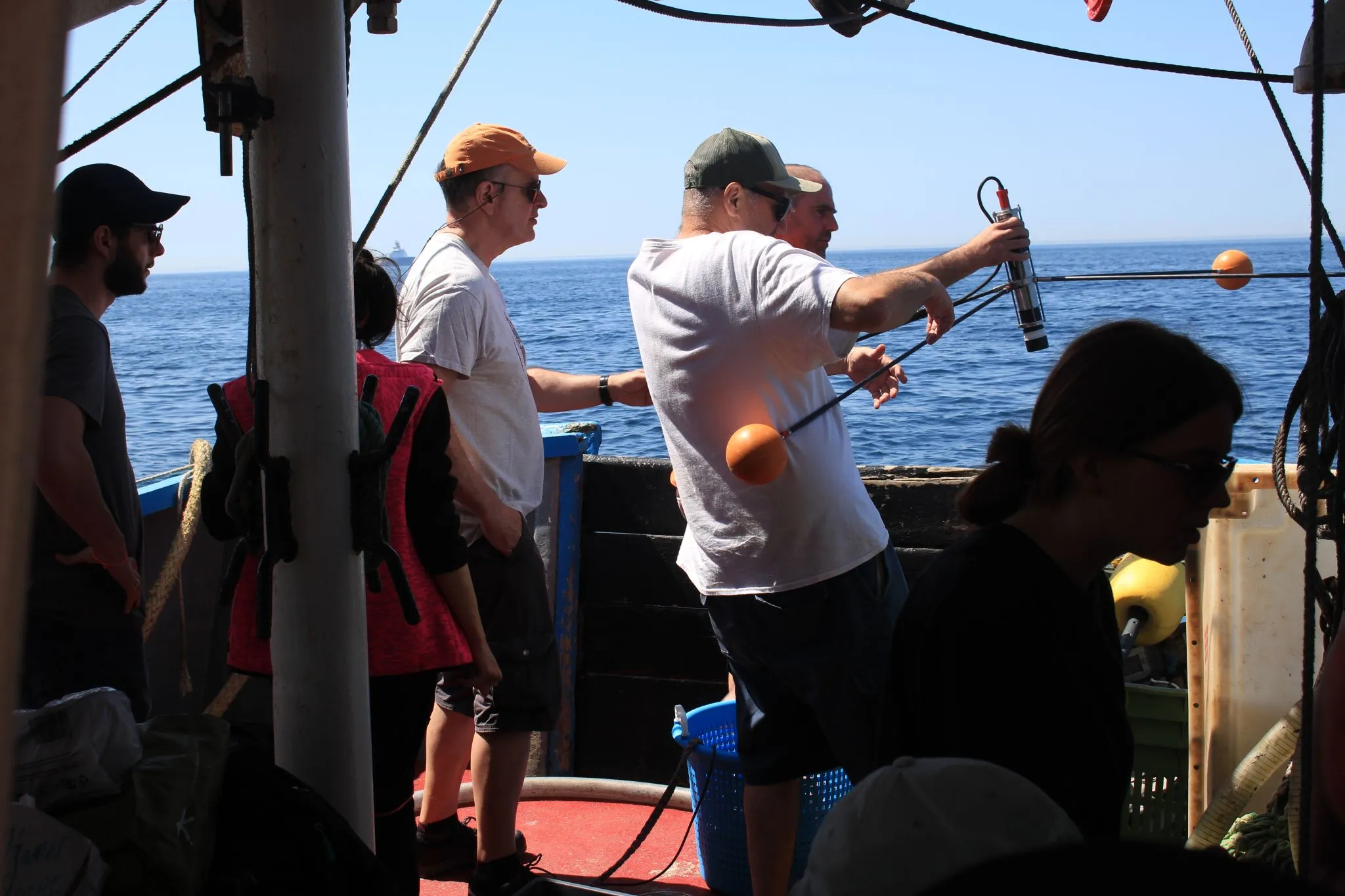
From 26 to 28 May, the team worked aboard Sépia II between the coast at Boulogne-sur-Mer and the eastern English Channel. The campaign was conducted with the Laboratoire d’Océanologie et de Géosciences, whose marine station at Wimereux operates the vessel. One LIFL-11, two mFL-12 lidars, and an mHR-2 radiometer were operated together.
Conditions remained clear across the three survey days. The transects were designed to follow the change from coastal water to the open Channel and to compare the instrument response across that gradient.
The lidars measured fluorescence and scattering from dissolved and suspended constituents while the radiometer recorded above-water reflectance. Conventional samples were collected alongside the optical measurements to provide an independent reference.
We thank the Laboratoire d’Océanologie et de Géosciences, Cédric Jamet, and the crew of Sépia II for their collaboration.